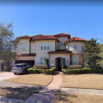
Roofs are measured professionally using aerial methods (satellite, software) for accurate dimensions and data or manually (tape measure).
What is Roof Measuring?
Professional aerial roof estimation revolutionizes the roofing industry by providing highly accurate, detailed roof measurements and analysis through advanced imaging technology. This eliminates the need for on-site inspections, saving time and money. By identifying potential issues like damage, leaks, or structural problems early on, you can plan and budget effectively, ensuring a smooth and cost-efficient roofing project. Click for more FAQs.
Roof Measuring utilizes high-resolution satellite imagery and advanced software to accurately capture roof dimensions and details. The process involves:
Image acquisition: High-resolution satellite images of the property are obtained.
Data processing: Specialized software analyzes the image, identifying roof planes, edges, and slopes.
3D modeling: The software creates a precise 3D model of the roof, allowing for accurate measurements and calculations.
Roof Measuring employs advanced software to accurately calculate rooftop area. The process involves:
Image analysis,
Area calculation,
Total area determination.
Our advanced aerial measurement technology delivers comprehensive roof data in easily digestible formats. We provide detailed reports in PDF format, offering clear visual representations of the roof, dimensions, area, and other relevant information. For clients requiring integration with existing systems, we also offer data in XML format

 Current Offers
